Kolombangara Island

See latest news, information about visiting Kolombangara Island or view a map.
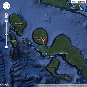
Kolombangara Island is a near circular extinct volcano about 30km across that rises 1,800m from the sea, forming the highest mountains in Western Province of Solomon Islands.
KIBCA invites you to visit Kolombangara Island to experience easy rainforest walks, outstanding birdwatching, river walking and swimming and rugged cloud-forest walks. This will help us conserve the natural environment and support the livelihoods of the local people.
View a detailed interactive map of Kolombangara Island by clicking on the image below.
Recent comments